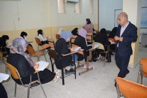
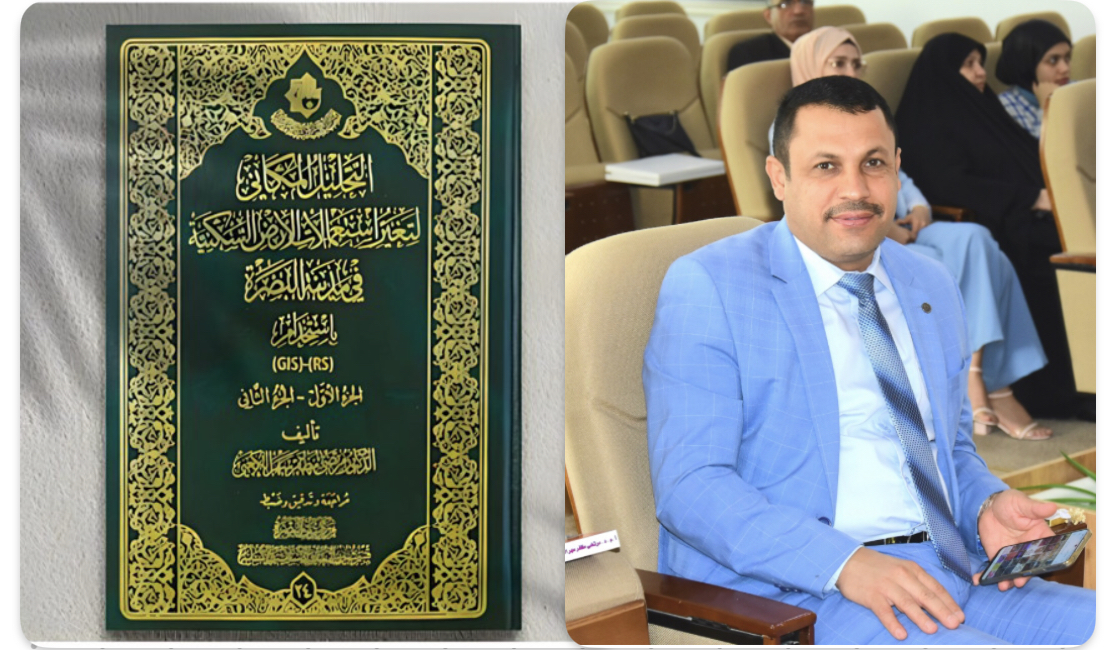
A lecturer from the University of Basra publishes a book on spatial analysis of residential land use change in the city of Basra
The lecturer in the Geography Department at the College of Education for Girls, Dr. Murtada Muzaffar Al-Kaabi, and in cooperation with the Basra Heritage Center of the Abbasid Holy Shrine, published a book entitled “Spatial Analysis of Change in Residential Land Use in the City of Basra Using Remote Sensing and Geographic Information Systems.”
The study aimed to give a real picture of the status of cadastral changes in residential land uses and other uses throughout the city’s history for the period (1907-2016).
The book contained four chapters. The first chapter dealt with digital treatments of satellite visuals and an analysis of the factors affecting the change in residential land uses in the city. The second chapter also dealt with the spatial distributions of urban land uses in the city of Basra for the time periods (1907-2016).
The third chapter included the most important changes in the type and patterns of residential land uses in the city, and the fourth chapter included the planning practices of the city of Basra and the proposed future changes.
The study used satellite visuals for the aforementioned period with high spatial accuracy of the city, as well as the use of computer programs, especially (ARC-GIS - ERDAS), which gave a realistic visualization of the changes that were presented in one document within this book.
Important News

viewed most